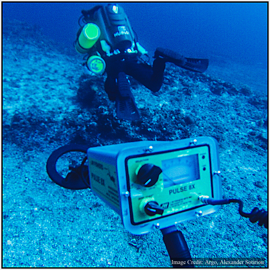
The first working dive of the 2014 expedition took place on the Antikythera shipwreck today, with lead divers Alexander Sotiriou…
Digital mapping of the Antikythera shipwreck is done for 2014, with the engineers from the Australian Centre for Field Robotics, University…
The first phase of the 2014 project, creating high resolution 3D maps of the Antikythera shipwreck site has been completed…
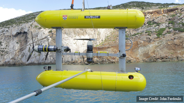
One of the primary tools so far has been Sirius, the underwater robot, aka. Autonomous Underwater Vehicle (AUV), from the Australian…
We’re currently over the Antikythera shipwreck, with the underwater robot (AUV) making the first high resolution digital map of the…
There were 3-4 metre waves over the wreck site today, so AUV (underwater robotic) operations took place on the sheltered…
The underwater robot is calibrated and ready to map but unfortunately the forecast is for heavy weather tomorrow. Severe weather…
Antikythera is one of the last frontiers of the Mediterranean. In winter only about twenty people permanently live on the island.…
POSEIDON arrived at Antikythera. All set up, now waiting for the GLAROS and the rest of the team. Then 4G…
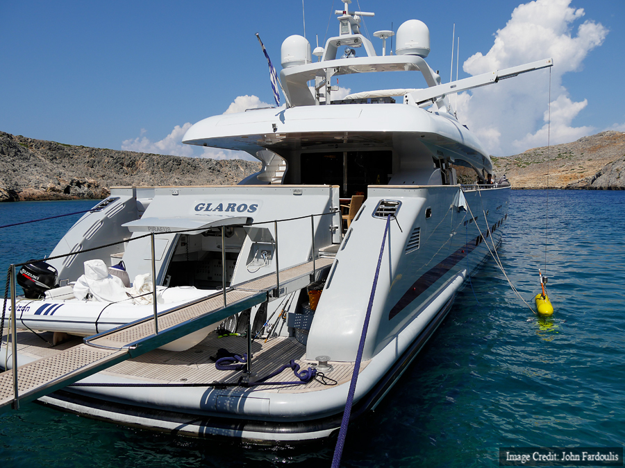
Load-out of AUV gear to yacht GLAROS. Thanks to the Aikaterini Laskaridis Foundation for providing this fabulous vessel! In the…


You must be logged in to post a comment.