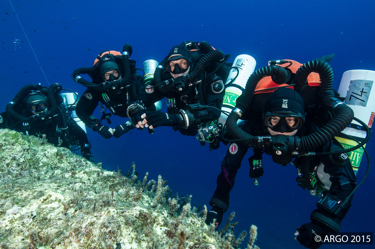
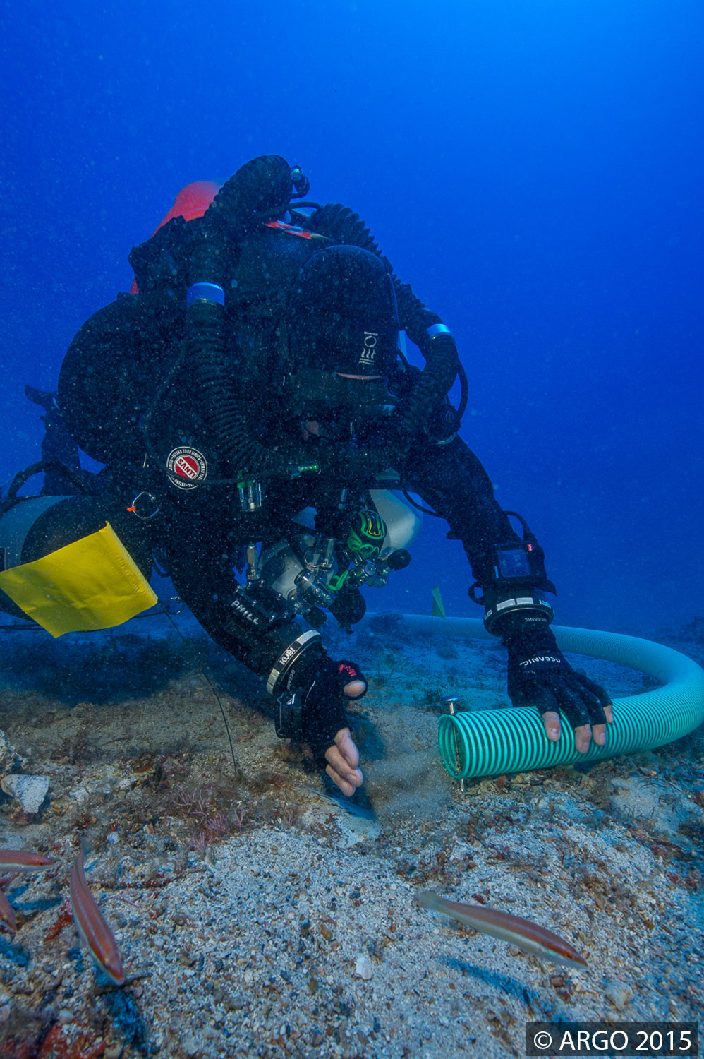
The underwater excavation is currently in full swing, with multiple 2-3 diver teams making the most of their bottom time each day.
A very detailed map has been created for the site by an underwater robot at the beginning of summer and last year, meaning that everything retrieved from the shipwreck can be plotted on this blueprint, which helps us better understand the shipwreck by studying the spatial relationship between objects.
If you go back a few posts, an explanation was provided about how the underwater dredge works. It’s currently a major tool in helping uncover thousands of years of sand/silt/gravel. Today’s photos are by Brett Seymour.


You must be logged in to post a comment.